Results for “maps-of-italy”
-
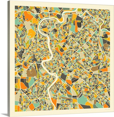
Rome Aerial Street Map
-
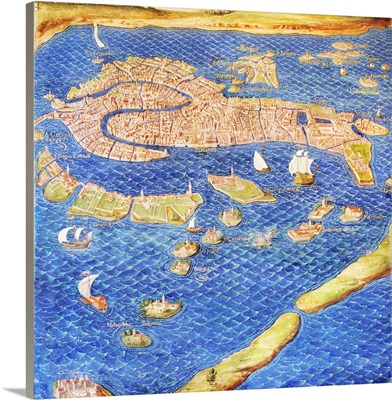
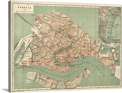
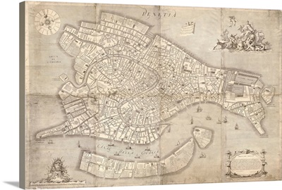
16th century map of Venice
-
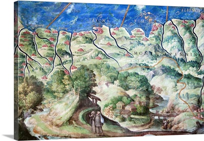
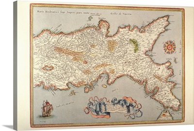
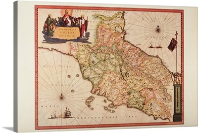
Detail of 16th century map of Liguria
-
16th century map of Sardinia cartouche

-
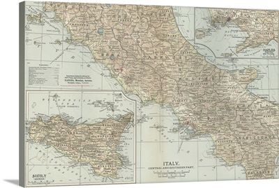
Italy, Central and Southern Part - Vintage Map
-
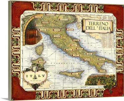
Wine Map of Italy on CGP
-
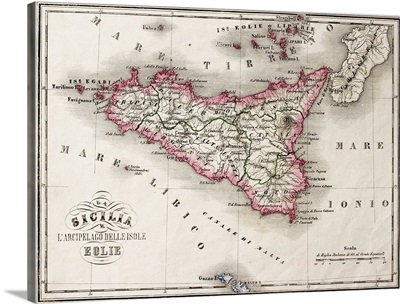
Antique old map of Sicily and little islands around it, 1860
-
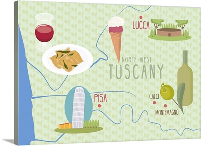
Map Of Lucca And Pisa, Tuscany, Italy
-
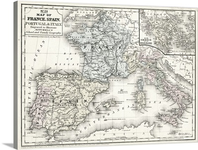
Mitchell's Map of France, Spain and Italy
-
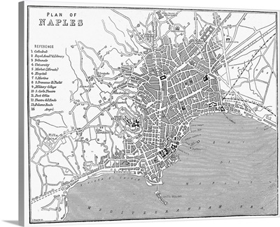
Italy, Plan Of Naples
-
The Vatican Museums, Rome, Italy, Europe

-
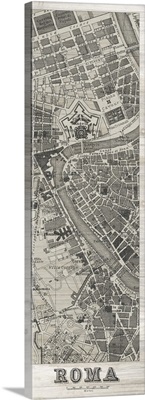
Roma Map Panel in Wood
-
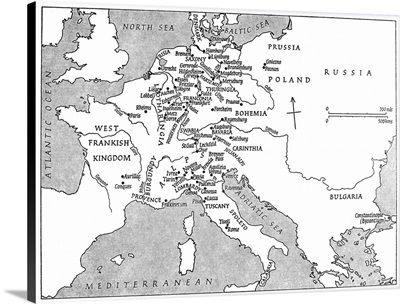
A Map Of Europe At the Time Of Emperor Charlemagne's Reign
-
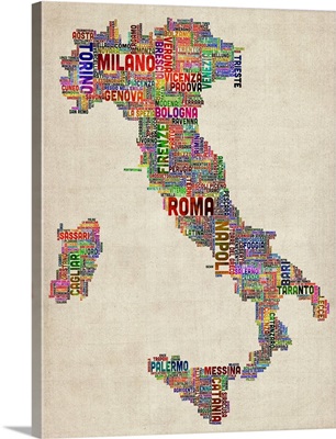
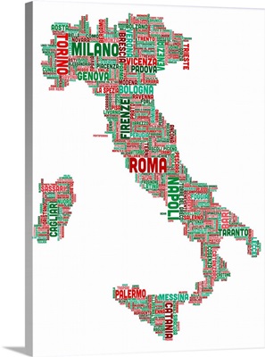
Italian Cities Text Map, Multicolor on Parchment
-
Italy Paint Splashes

-
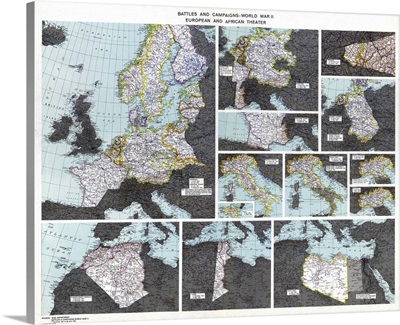
Map, WWII Battles, c1945
-
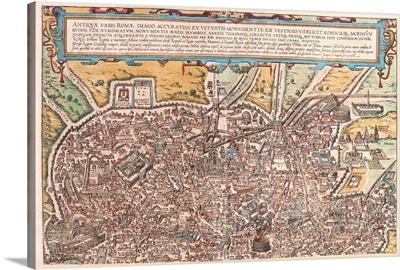
Map of Ancient Rome from Civitates Orbis Terrarum
-
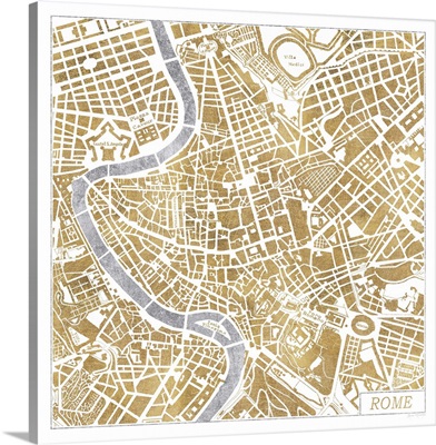
Gilded Rome Map
-
Map of the Kingdom of Naples
-
Antique Map of Venice, ca. 1886
-
Venice Radiant Map III

-
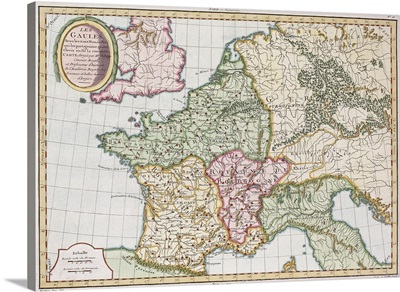
Antique map of the French Empire in western Europe
-
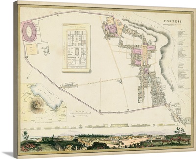
Map of Pompeii
-
Antique Map of Rome, ca. 1710
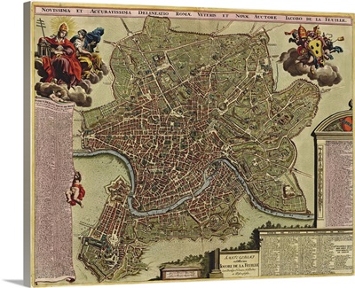
-
Rome - Vintage Map
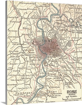
-
Italian Cities Text Map, Navy
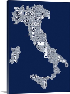
-
Italian Cities Text Map, Italian Colors on White
-
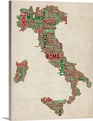
Italian Cities Text Map, Italian Colors on Parchment
-
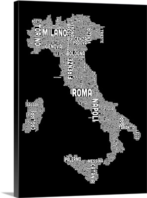
Italian Cities Text Map, Black and White
-
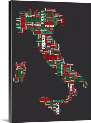
Italian Cities Text Map, Italian Colors on Grey
-
Pisa Italy Skyline

-
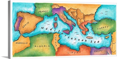
Map of Mediterranean Sea
-
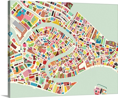
Modern Venice Map
-
Citta di Venezia, 1729
-
Old Napa II

-
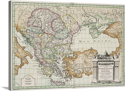
Antique map of Eastern Europe
-
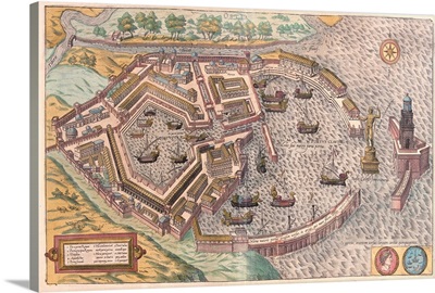
Map of Ostia, ancient Rome, from Civitates Orbis Terrarum
-
Satellite in space with view of Italy and Africa on Earth

-
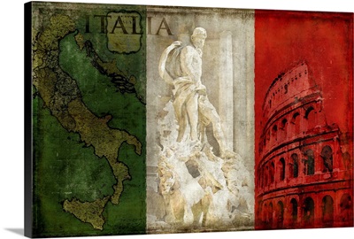
Italian flag in the map

-
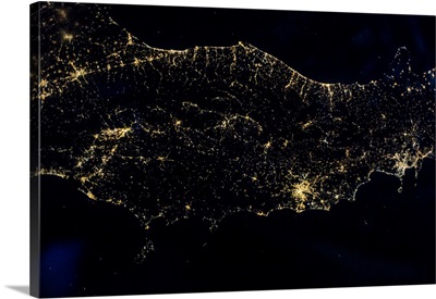
Night time satellite image of Genoa, Italy
-
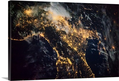
Night time satellite image of Italy
-
Plate from renaissance cartography treatment created in XVI century, Artist unknown
-
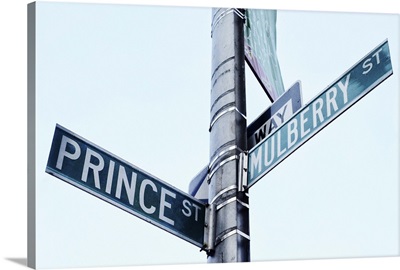
Prince and Mulberry Street Signs, Little Italy, New York City
-
Brava Italia
-
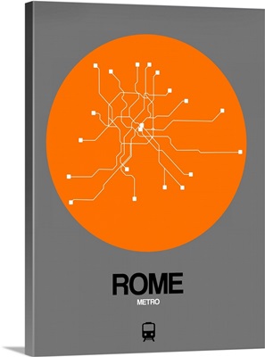
Rome Orange Subway Map
-
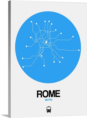
Rome Blue Subway Map
-
Rome Black Subway Map

-
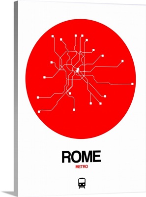
Rome Red Subway Map