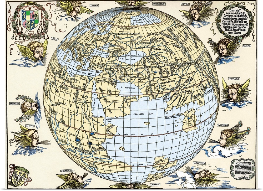
<p>Durer's world map, 1515. Albrecht Durer (1471- 1528) was a German artist. His skillful use of perspective and mathematical proportions made him one of the outstanding artistic figures of the early 16th century. This world map is based on Ptolemy's map plus extensions from Behaim's Globe of 1492. It is the first known perspective drawing of the entire Earth as a sphere, and was published in 1515, using the best maps of the time in collaboration with Nuremberg astronomer Johann Stabius. The map shows the world surrounded by 12 wind gods. Taken from Dr Willi Kurth's The Complete Woodcuts of Albrecht Durer (1936).</p>


Whether you’re looking for an affordable wall art solution, or seeking to custom frame your art at home, our giclée poster prints will not disappoint. Printed on high quality poster paper, your new abstract art, movie poster, or fine art photography will look stunning in any light.
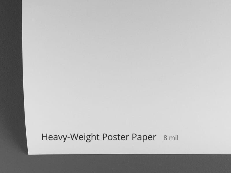
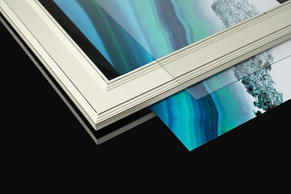
<p>Your selected artwork is printed in fine detail on a lightweight, low glare, satin poster paper. This bright white paper stock ensures vibrant color and image clarity.</p>

<p>All of our paper prints are giclée printed with archival inks for enduring color and detail. Each poster print is carefully checked by our print team to ensure the details and quality are faithful to the original artwork.</p>
<p>If you’re looking for a specific frame or custom matting, our high quality poster prints give you the flexibility to frame your art at home. Looking for an all-in-one framed art print that’s ready to hang? Be sure to check out our framed art prints for a complete, finished product, available in a variety of frame finishes. Whether you choose to do it yourself or opt for our all-in-one framed prints, our poster prints are guaranteed to provide visual impact to your space.</p>
 Educational
History
Early Modern
Science
Illustrations
Maps
Antique Maps
Sheila Terry
Educational
History
Early Modern
Science
Illustrations
Maps
Antique Maps
Sheila Terry