<p>United States Geological Survey is a government agency that studies the geology of the US, as well as its effects and resources. Through their research, the USGS has created stunning images of the earth as seen from satellites, highlighting the natural beauty of the world.</p>
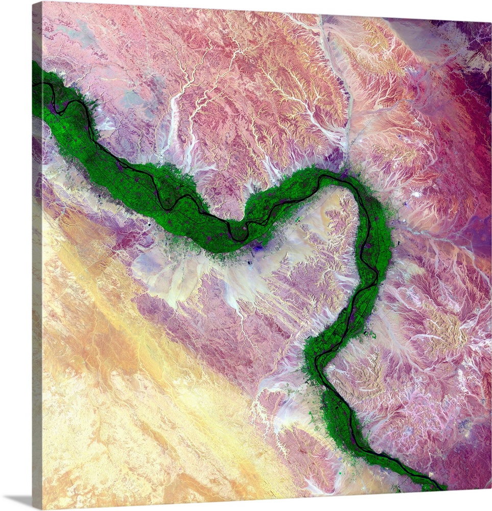
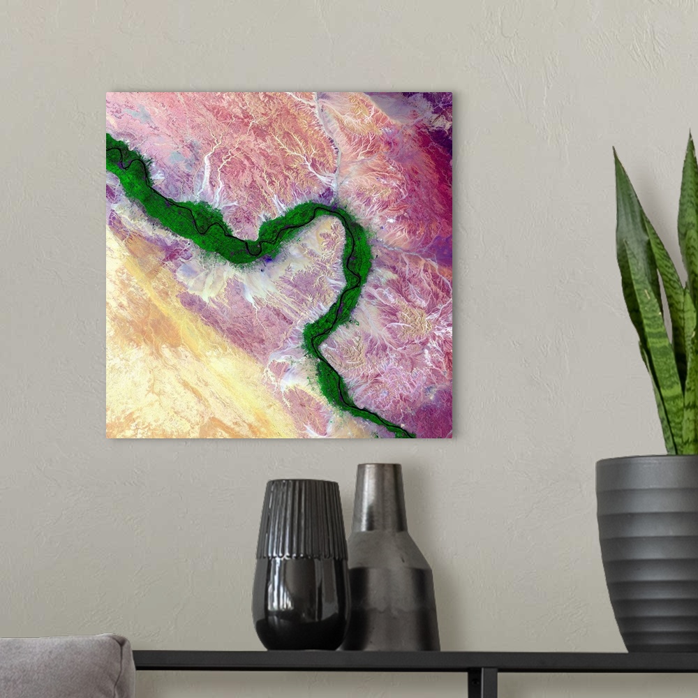
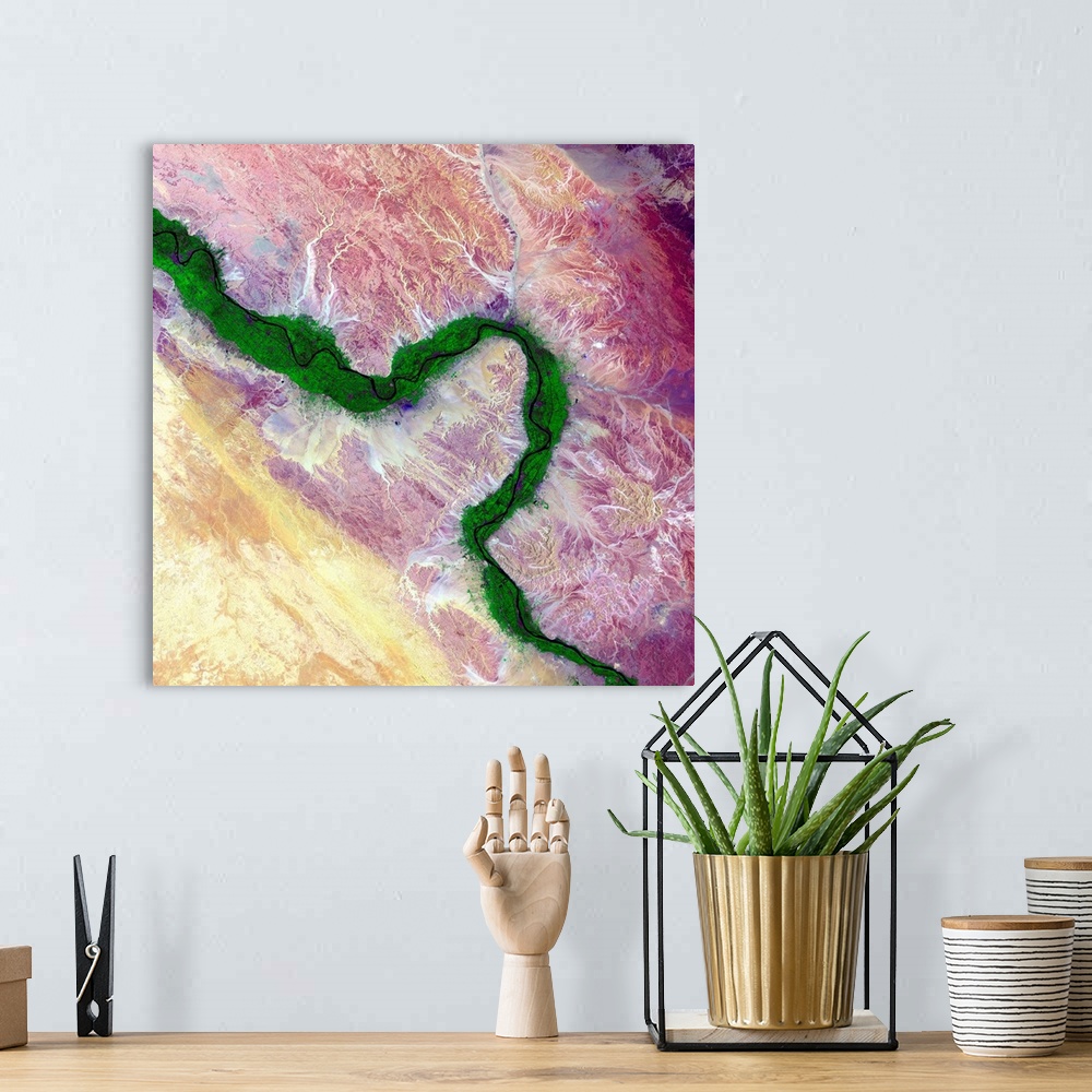
<p>Nile and Egyptian desert, satellite image. Along the Nile River in Egypt, farmland (green) is maintained on the river's floodplain in stark contrast to the surrounding arid desert. The ability to farm along this river has sustained civilisations in this area for thousands of years. This region of the river includes the city of Luxor and many of the famed structures and buildings of Ancient Egypt. Image data obtained by the Landsat 8 satellite on 15 August 2014.</p>


Elevate any room with our handcrafted stretched canvas gallery wraps. Printed with archival inks and wrapped around a 1.25” inch solid wood stretcher bar, our giclée big canvas art prints are a timeless option for any décor style or space.
<p>Our giclée canvas art prints are produced with high quality, UV-resistant, environmentally-friendly, latex inks and artist grade, polycotton canvas. We pride ourselves on color accuracy and image clarity to ensure your new canvas wall art lasts for years to come.</p>

<p>Assembled in the USA, each of our 1.25” inch gallery wrapped canvas art prints is stretched and stapled by our highly skilled craftspeople. Each canvas print is carefully handcrafted to ensure taut canvas wraps and clean corners for outstanding quality and durability.</p>

<p>Our handcrafted stretched canvas prints include sawtooth hangers for an easy and secure installation.</p>
 United States Geological Survey