{{ titlePrefix }} United States Geological Survey
About United States Geological Survey
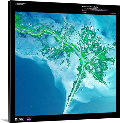
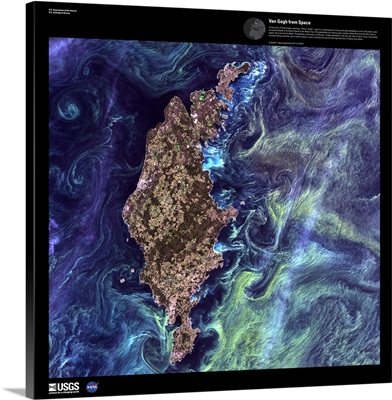
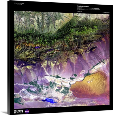
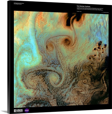
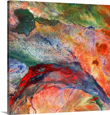
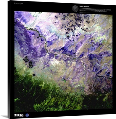
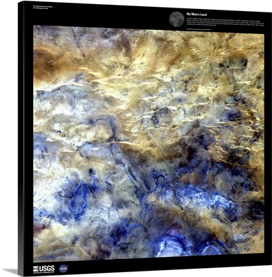
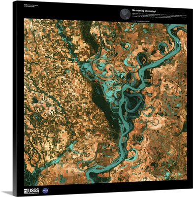
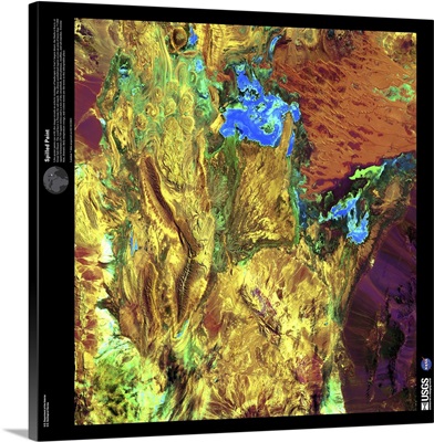
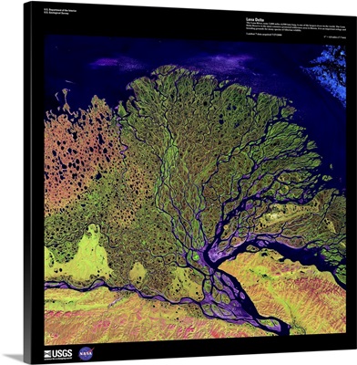
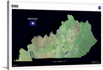
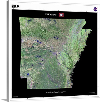
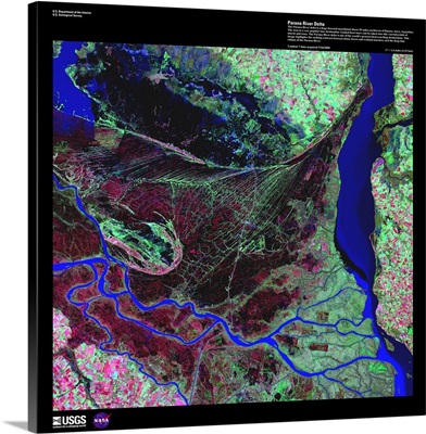
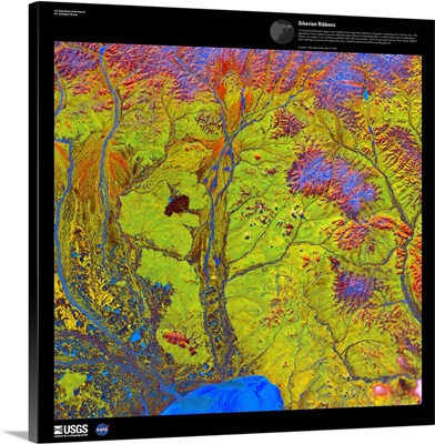
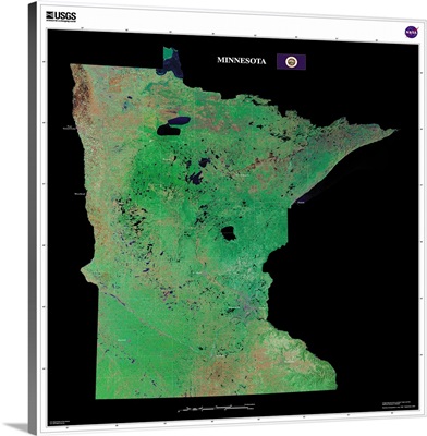
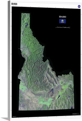
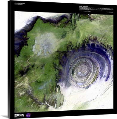
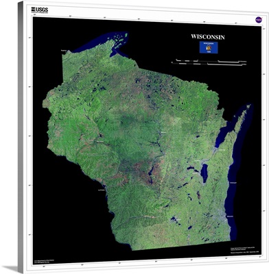
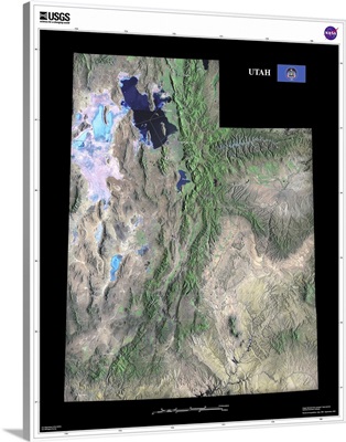
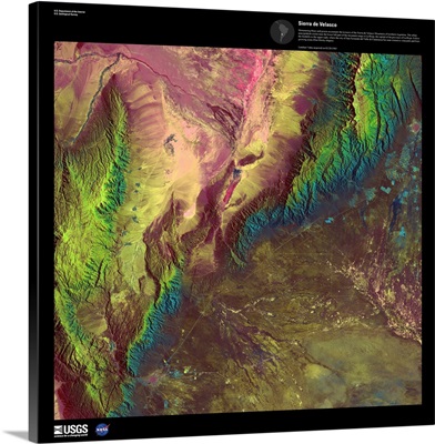
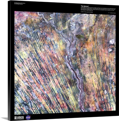
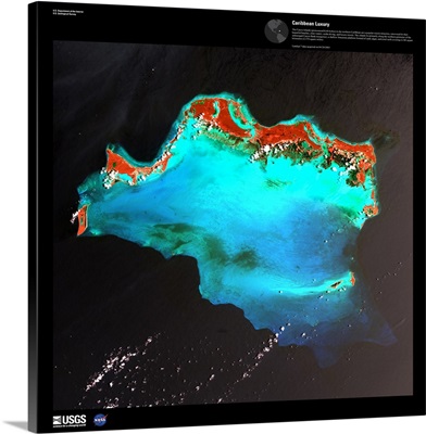
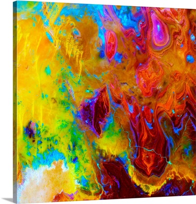
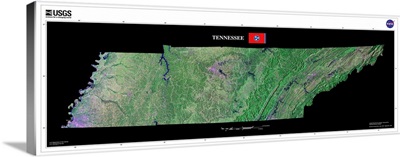
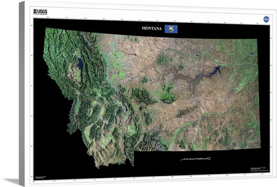
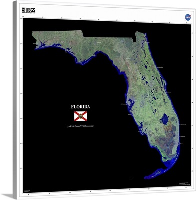
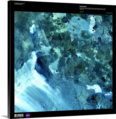
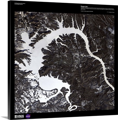
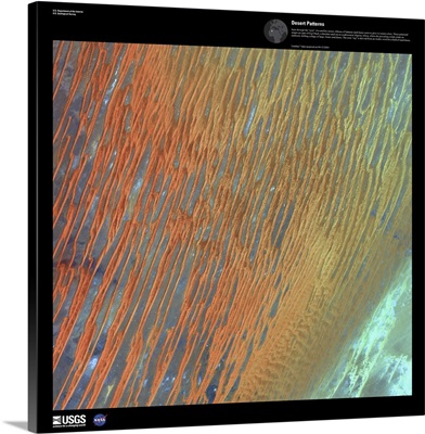
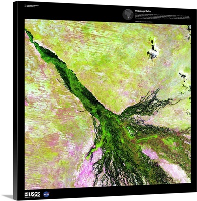
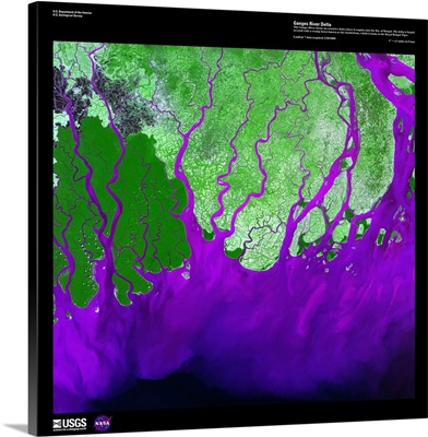
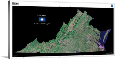
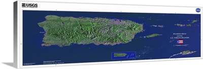
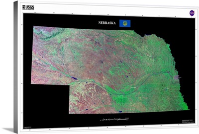
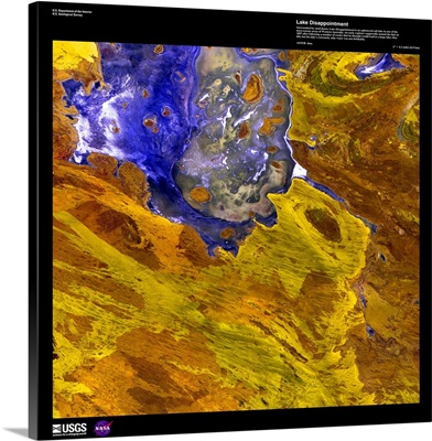
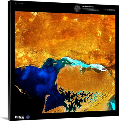
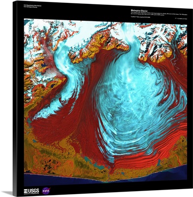
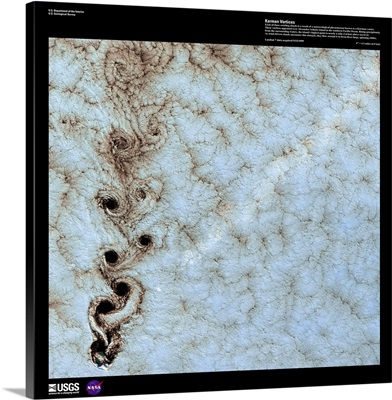
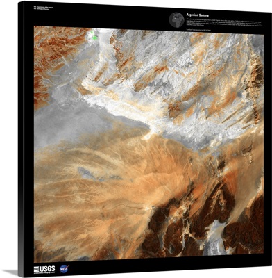
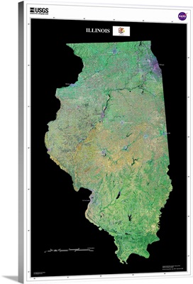
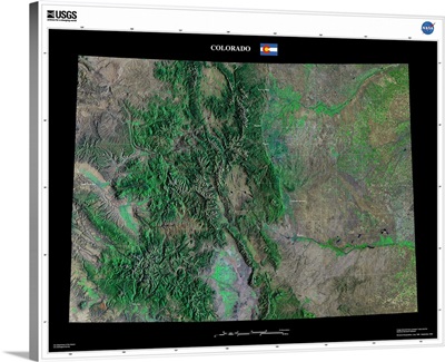
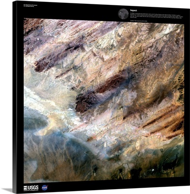
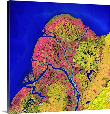
United States Geological Survey is a government agency that studies the geology of the US, as well as its effects and resources. Through their research, the USGS has created stunning images of the earth as seen from satellites, highlighting the natural beauty of the world.