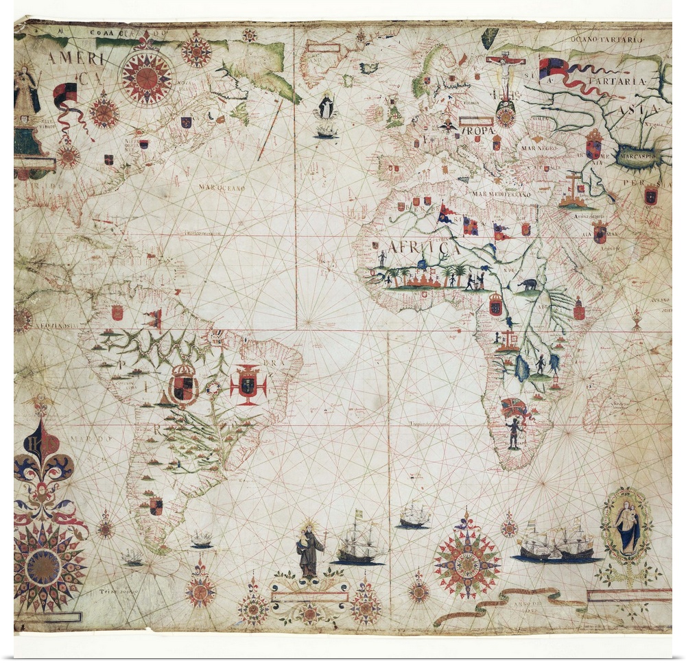
<p>17th Century nautical map of the Atlantic Ocean. Historical portolan chart showing the Atlantic Ocean and adjacent continents. Portolan charts are navigational maps based on realistic descriptions of harbours and coasts. Along with the Atlantic, this chart shows the southeast Pacific Ocean, southwest Indian Ocean and the continents of South America, Africa, Europe, and parts of North America and Asia. Created by Pascal Roiz in 1633.</p>


Whether you’re looking for an affordable wall art solution, or seeking to custom frame your art at home, our giclée poster prints will not disappoint. Printed on high quality poster paper, your new abstract art, movie poster, or fine art photography will look stunning in any light.
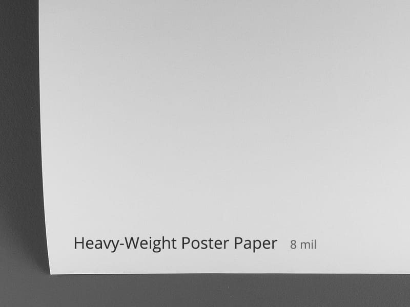
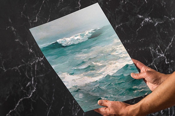
<p>Your selected artwork is printed in fine detail on a lightweight, low glare, satin poster paper. This bright white paper stock ensures vibrant color and image clarity.</p>
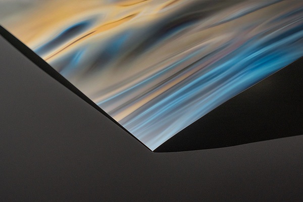
<p>All of our paper prints are giclée printed with archival inks for enduring color and detail. Each poster print is carefully checked by our print team to ensure the details and quality are faithful to the original artwork.</p>
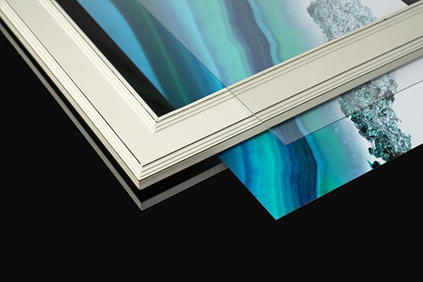
<p>If you’re looking for a specific frame or custom matting, our high quality poster prints give you the flexibility to frame your art at home. Looking for an all-in-one framed art print that’s ready to hang? Be sure to check out our framed art prints for a complete, finished product, available in a variety of frame finishes. Whether you choose to do it yourself or opt for our all-in-one framed prints, our poster prints are guaranteed to provide visual impact to your space.</p>
 Maps
Antique Maps
World Maps
Maps
Antique Maps
World Maps