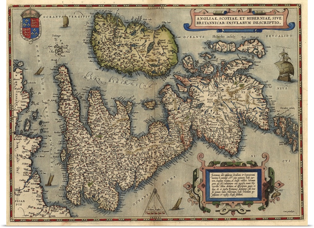
<p>Map of the British Isles, in the 1570 edition of Ortelius Atlas (Theatrum Orbis Terrarum). Abraham Ortelius (1527-1598) was a Flemish mapmaker who is considered to have produced the first true atlas (collection of uniform maps in one book). Ortelius worked in Antwerp, the Netherlands. This map is titled: Angliae, Scotiae et Hiberniae (England, Scotland and Ireland). The text at upper right is in Latin and mentions Saxons and Albion (another term for Britain). A royal coat of arms is seen at lower left.</p>


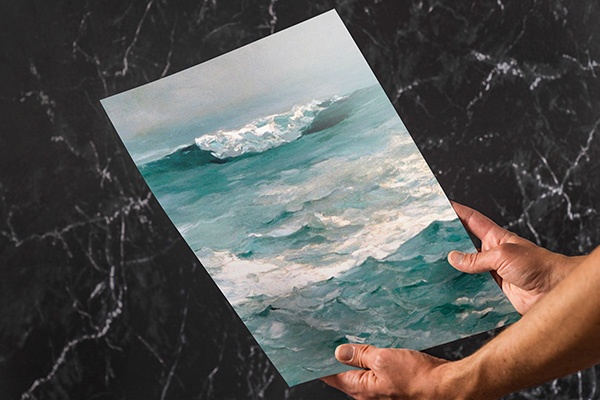
Whether you’re looking for an affordable wall art solution, or seeking to custom frame your art at home, our giclée poster prints will not disappoint. Printed on high quality poster paper, your new abstract art, movie poster, or fine art photography will look stunning in any light.
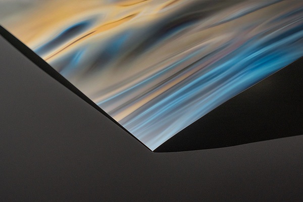
<p>Your selected artwork is printed in fine detail on a lightweight, low glare, satin poster paper. This bright white paper stock ensures vibrant color and image clarity.</p>
<p>All of our paper prints are giclée printed with archival inks for enduring color and detail. Each poster print is carefully checked by our print team to ensure the details and quality are faithful to the original artwork.</p>
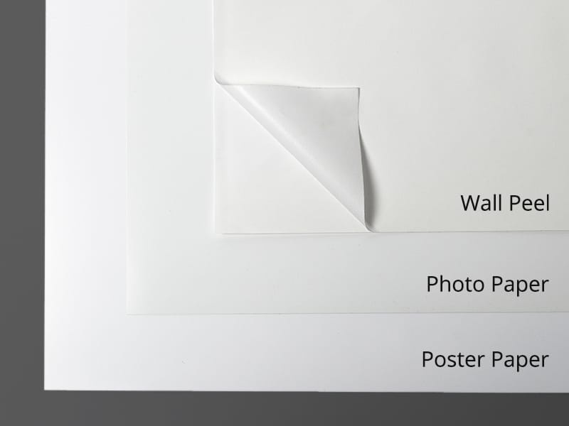
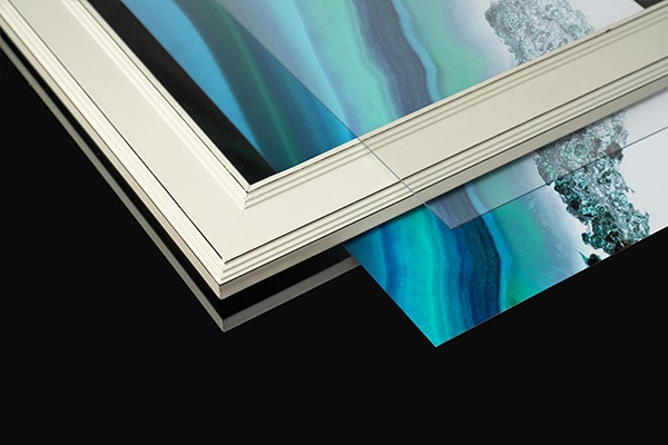
<p>If you’re looking for a specific frame or custom matting, our high quality poster prints give you the flexibility to frame your art at home. Looking for an all-in-one framed art print that’s ready to hang? Be sure to check out our framed art prints for a complete, finished product, available in a variety of frame finishes. Whether you choose to do it yourself or opt for our all-in-one framed prints, our poster prints are guaranteed to provide visual impact to your space.</p>
 History
World History
Early Modern
Maps
Antique Maps
England
History
World History
Early Modern
Maps
Antique Maps
England