Skip Menu. Navigate to content in this page
Accessibility Assistance, opens A D A page
Tracking
Favorites
Cart
My Account
Track My Order
My Favorites
Help / Contact Us
Shop By
New!
New Exclusives
New Abstracts
New Florals
New Contemporary Art
New Photography
Gallery Walls
Shop All New!
Best Sellers
Subjects
Popular
Abstracts
Landscapes
Flowers and Botanicals
People
Animals and Wildlife
Scenery by Region
Nature Closeups
City Skylines
Vehicles and Transportation
Architecture
Scenery by Landscape
Trees
Seascapes
Barns
Mountains
Countryside
Lakes
Waterfalls
Lighthouses
Sunsets
Beaches
Scenery by Region
Italy
Hawaii
Canada
Ireland
Paris
New Orleans
Africa
Greece
Popular Wildlife
Horses
Birds
Bison and Buffalo
Cows & Bulls
Dogs
Elephants
Deer
Bears
Shop All Subjects
Colors
Popular
Red Art
Orange Art
Yellow Art
Green Art
Blue Art
Purple Art
Pink Art
Multicolor Art
Black and White Art
Grey Art
Palettes
Pop of Orange
Denim and Leather
Taupe, Linen, and Gray
Blush and Blueberry
Black and Tan
Teal and Copper
Charcoal, Onyx, and Ivory
Luxe Metallics
Earth Tones
Sienna and Navy
Shop All Colors
Styles
Popular
Abstract
Contemporary
Vintage
Figurative
Classic
Street Art
Pop Art
Pixel Art
Portraits
Retro
By Décor Style
Farmhouse
Mid Century Modern
Glam
Bohemian
Coastal
Traditional
Scandinavian
Minimalist
Contemporary
Modern
By Period
Modern
Expressionism
Impressionism
Art Deco
Cubism
Art Nouveau
Realism
Renaissance
Baroque & Rococo
Classicism & Neoclassicism
Shop All Styles
Rooms
Popular
Living Room
Kitchen
Bedroom
Bathroom
Dining Room
Home Gym
Office
Children's Room
Art by Décor Style
Farmhouse
Mid Century Modern
Glam
Bohemian
Coastal
Traditional
Scandinavian
Minimalist
Contemporary
Modern
Shop All Rooms
Artists
Featured
Dorothy Fagan
Gigi Rosado
Bouffants and Broken Hearts
Arty Guava
Nikki Chu
Sydney Edmunds
Victoria Borges
Joyce Combs
Joshua Schicker
RD Riccoboni
Featured Photographers
Valda Bailey
Ansel Adams
Marco Carmassi
Tim Kahane
Ben Pipe
Kathrin Pienaar
Mark Gemmell
Angele Etoundi Essamba
Classic Artists
Gustave Caillebotte
John William Waterhouse
Albert Williams
George Inness
Katsushika Hokusai
Claude Monet
Vincent van Gogh
Pierre Auguste Renoir
Paul Cezanne
Rembrandt van Rijn
Shop All Artists
Featured
Curator's Choice
Ana Rut Bre
Beaming
Femininity Redefined
Freshly Cut
Mediterranean Dream
A Great Escape
Gold Rush
Olive Sprig
Seasonal Collections
Brutalism
Spring Landscapes
Black and White Florals
The New Reds
Rustic Traditionalist
Hot Off the Press
Spring Forward
Demure Harmony
Art & Décor Trends
Breezy Botanicals
Neo-Minimalism
Leanne Daquino
The Botanist
Celebration of Heritage
Wabi - Sabi
Flora And Fauna
Light Academia
Shop All Featured
Gallery Walls
Inspiration
Resources
About
Our Company
Our Products
Trade Program
Gift Cards
Ideas
The Spring Edit
Living Room Ideas
Art for Commercial Spaces
Blog
How to Hang Your Art
Choosing the Right Size Art
What is Japandi?
More Blog Stories
Back
{{ titlePrefix }} Antique Maps
About Antique Maps
Old World at its best; antique maps to make New World walls really go places.
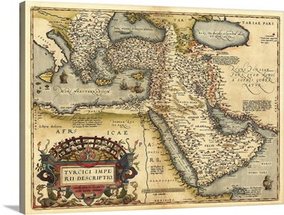
Ortelius's map of Ottoman Empire, 1570
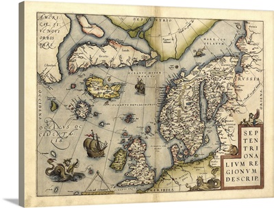
Ortelius's map of Northern Europe, 1570
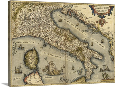
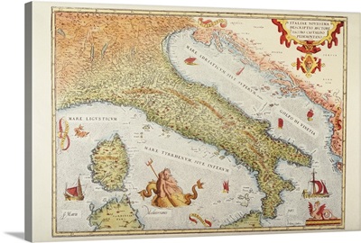
Ortelius's map of Italy, 1570
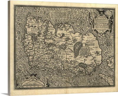
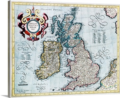
Ortelius's map of Ireland, 1598
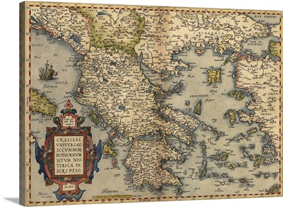
Ortelius's map of Greece, 1570
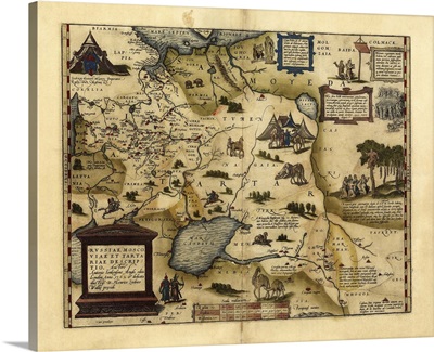
Ortelius's map of European Russia, 1570
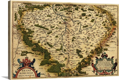
Ortelius's map of Bohemia, 1570
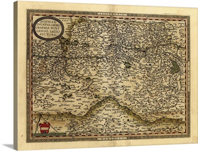
Ortelius's map of Austria, 1570
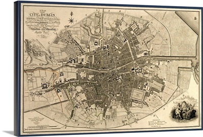
Map of the City of Dublin, 1797
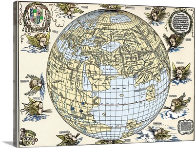
Durer's world map, 1515
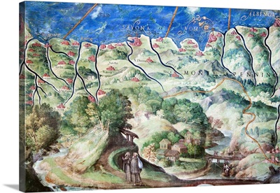
Detail of 16th century map of Liguria
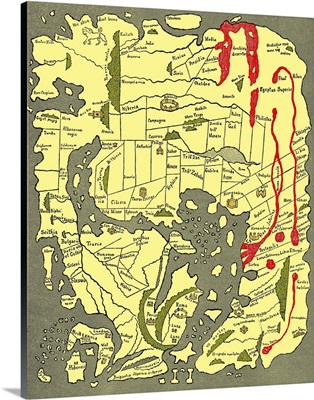
Anglo-Saxon 10th century world map
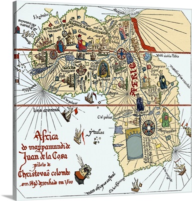
Africa, 16th century Spanish map
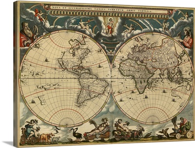
17th century world map
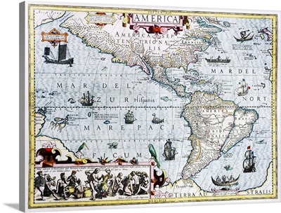
17th century map of the New World
17th century map of the New World
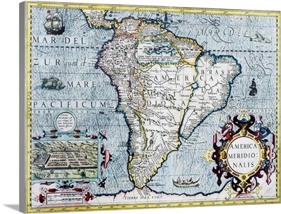
17th century map of South America
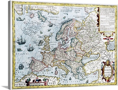
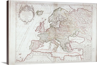
17th century map of Europe
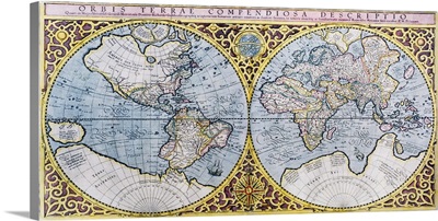
16th century world map
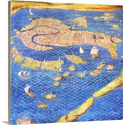
16th century map of Venice
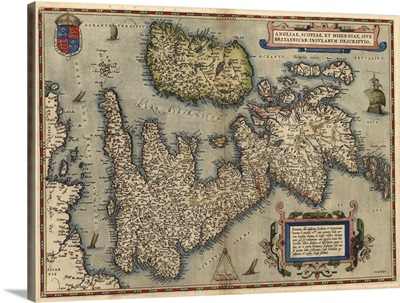
16th century map of the British Isles
16th century map of the British Isles
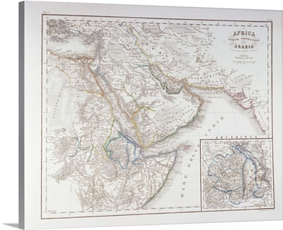
West Africa and Arabia
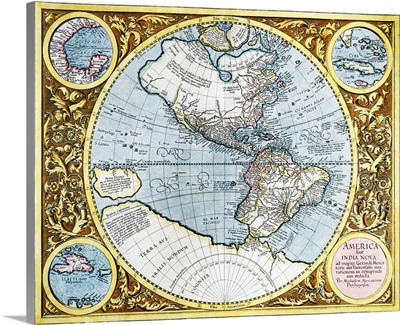
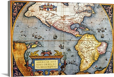
The Americas, 1587 Map by Abraham Ortelius
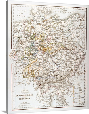
States of the German Confederation
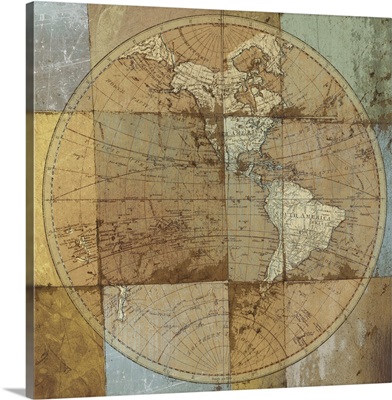
Single Map
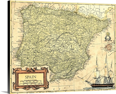
Spain Map
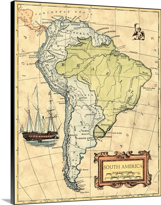
South America Map
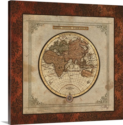
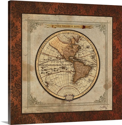
Red Damask Map II
Red Damask Map I
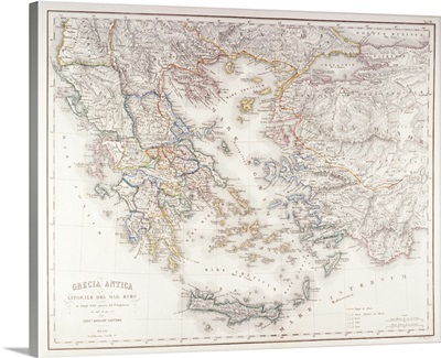
Ancient Greece
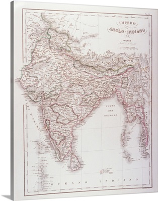
Anglo-Indian Empire
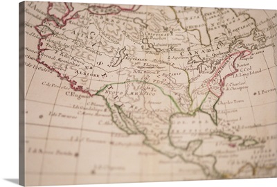
Antique map of North America
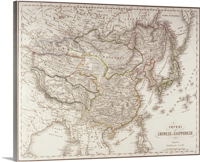
Chinese and Japanese Empires
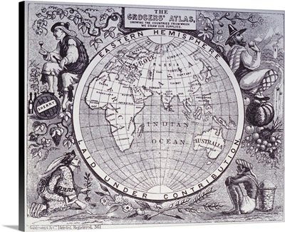
Eastern Hemisphere
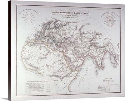
Historical Map of the Known World
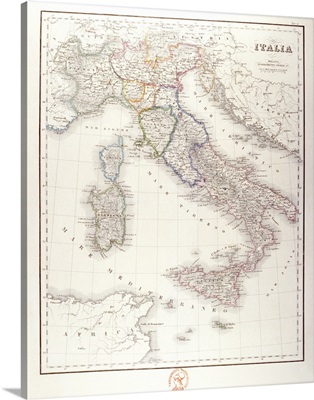
Italy Before Unification
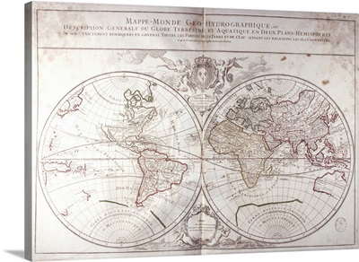
Land and Water Map of the World
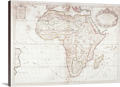
Map of Africa
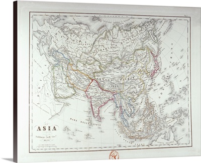
Map of Asia
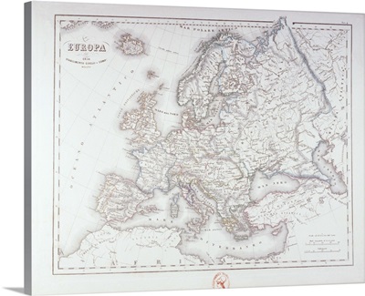
Map of Europe
Map of Europe
Map of Italy in 1500
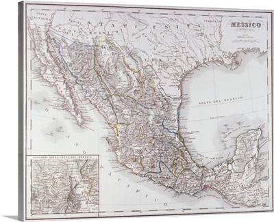
Map of Mexico and Outlines of Mexico City
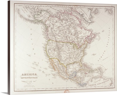
Map of North America
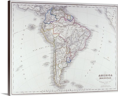
Map of South America
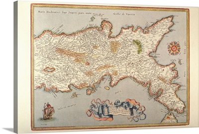
Map of the Kingdom of Naples
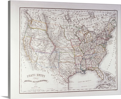
Map of the Northen United States
Page 1
Page 2
Page 3
Page 4
Page 5
Page 6
Page 7
Page 8
Page 9
Page 10
Page 11
Page 12
Page 13
Page 15
Page 16
Page 17
Page 18
Page 19
Page 20