Skip Menu. Navigate to content in this page
Accessibility Assistance, opens A D A page
Tracking
Favorites
Cart
My Account
Track My Order
My Favorites
Help / Contact Us
Shop By
New!
New Exclusives
New Abstracts
New Florals
New Contemporary Art
New Photography
Gallery Walls
Shop All New!
Best Sellers
Subjects
Popular
Abstracts
Landscapes
Flowers and Botanicals
People
Animals and Wildlife
Scenery by Region
Nature Closeups
City Skylines
Vehicles and Transportation
Architecture
Scenery by Landscape
Trees
Seascapes
Barns
Mountains
Countryside
Lakes
Waterfalls
Lighthouses
Sunsets
Beaches
Scenery by Region
Italy
Hawaii
Canada
Ireland
Paris
New Orleans
Africa
Greece
Popular Wildlife
Horses
Birds
Bison and Buffalo
Cows & Bulls
Dogs
Elephants
Deer
Bears
Shop All Subjects
Colors
Popular
Red Art
Orange Art
Yellow Art
Green Art
Blue Art
Purple Art
Pink Art
Multicolor Art
Black and White Art
Grey Art
Palettes
Pop of Orange
Denim and Leather
Taupe, Linen, and Gray
Blush and Blueberry
Black and Tan
Teal and Copper
Charcoal, Onyx, and Ivory
Luxe Metallics
Earth Tones
Sienna and Navy
Shop All Colors
Styles
Popular
Abstract
Contemporary
Vintage
Figurative
Classic
Street Art
Pop Art
Pixel Art
Portraits
Retro
By Décor Style
Farmhouse
Mid Century Modern
Glam
Bohemian
Coastal
Traditional
Scandinavian
Minimalist
Contemporary
Modern
By Period
Modern
Expressionism
Impressionism
Art Deco
Cubism
Art Nouveau
Realism
Renaissance
Baroque & Rococo
Classicism & Neoclassicism
Shop All Styles
Rooms
Popular
Living Room
Kitchen
Bedroom
Bathroom
Dining Room
Home Gym
Office
Children's Room
Art by Décor Style
Farmhouse
Mid Century Modern
Glam
Bohemian
Coastal
Traditional
Scandinavian
Minimalist
Contemporary
Modern
Shop All Rooms
Artists
Featured
Catrin Welz-Stein
Adekunle Adeleke
Graham Dean
Dorothy Fagan
Eleanor Baker
Michael Willett
Amira Rahim
Alexys Henry
Featured Photographers
Valda Bailey
Ansel Adams
Marco Carmassi
Tim Kahane
Ben Pipe
Kathrin Pienaar
Mark Gemmell
Angele Etoundi Essamba
Classic Artists
Gustave Caillebotte
John William Waterhouse
Albert Williams
George Inness
Katsushika Hokusai
Claude Monet
Vincent van Gogh
Pierre Auguste Renoir
Paul Cezanne
Rembrandt van Rijn
Shop All Artists
Featured
Curator's Choice
Ana Rut Bre
Beaming
Femininity Redefined
Freshly Cut
Mediterranean Dream
A Great Escape
Gold Rush
Olive Sprig
Seasonal Collections
Brutalism
Spring Landscapes
Black and White Florals
The New Reds
Rustic Traditionalist
Hot Off the Press
Spring Forward
Demure Harmony
Art & Décor Trends
Breezy Botanicals
Neo-Minimalism
Leanne Daquino
The Botanist
Celebration of Heritage
Wabi - Sabi
Flora And Fauna
Light Academia
Shop All Featured
Gallery Walls
Inspiration
Resources
About
Our Company
Our Products
Trade Program
Gift Cards
Ideas
The Spring Edit
Living Room Ideas
Art for Commercial Spaces
Blog
How to Hang Your Art
Choosing the Right Size Art
What is Japandi?
More Blog Stories
Back
{{ titlePrefix }} Maps
About Maps
Places to see, maps to explore-a variety of "locations" in a vast assortment of styles.
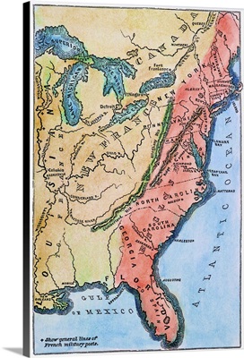
Colonial America Map
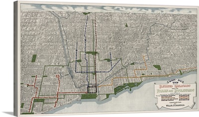
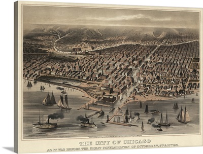
Vintage Birds-Eye View of the Elevated Railroads and the Parks and Boulevards of Chicago
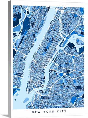
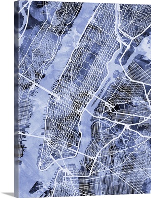
New York City Street Map
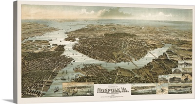
Vintage Birds Eye View Map of Norfolk, Virginia
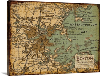
Environs Boston
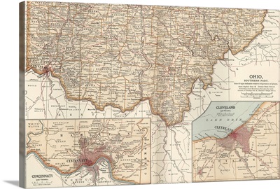
Ohio, Southern Part, with Cincinnati and Cleveland - Vintage Map
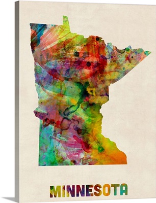
Minnesota Watercolor Map
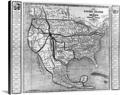
America And Mexico, 1846
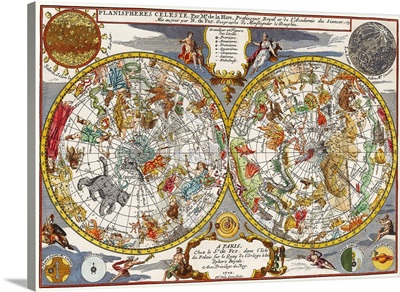
Celestial Chart
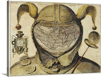
Fool's Cap World Map
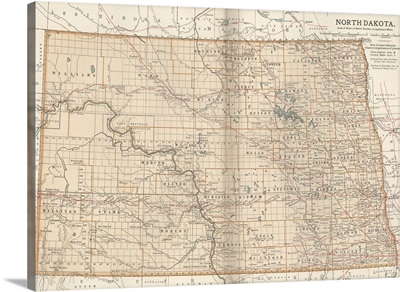
North Dakota - Vintage Map
New York City Street Map
World Map made up of Dinosaurs
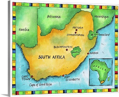
Illustrated Map of South Africa
Minimalist British Grand Prix Poster II
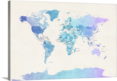
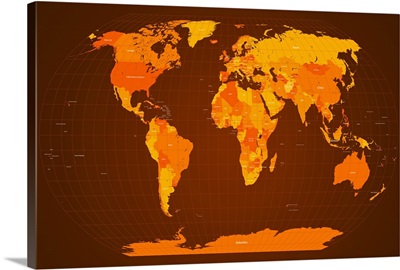
Watercolour Political Map of the World
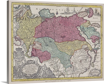
Antique map of Eurasia
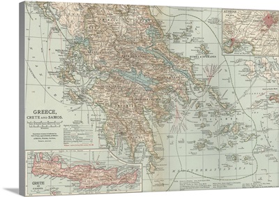
Greece, Crete and Samos - Vintage Map
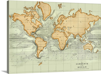
19th century chart of ocean currents
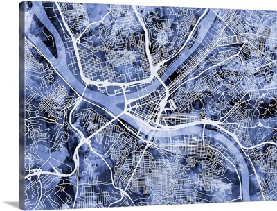
Pittsburgh Pennsylvania Street Map
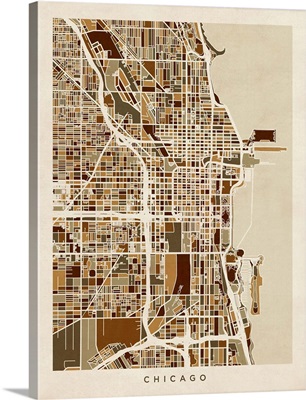
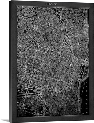
Chicago City Street Map
World Map Fall Colours
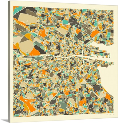
Dublin Aerial Street Map
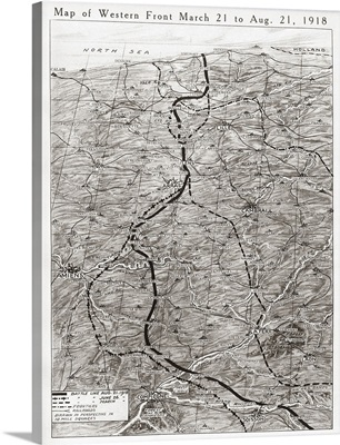
World War I, Western Front
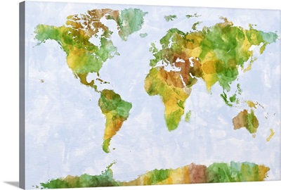
Paint map of the world - green
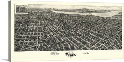
Vintage Birds Eye View Map of Tulsa, Oklahoma
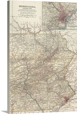
Pennsylvania, Eastern Part - Vintage Map
World Map Abstract Barcode
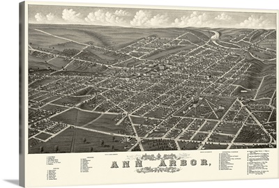
Vintage Birds Eye View Map of Ann Arbor, Michigan
World Map made up of country names
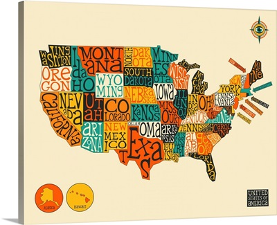
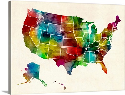
US Map
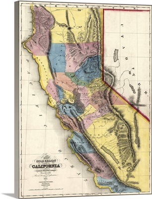
Vintage Map of the Gold Region in California
World Map Dinosaurs, Green
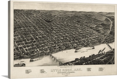
Vintage Birds Eye View Map of Little Rock, Arkansas
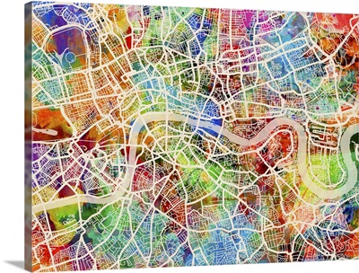
London England Street Map
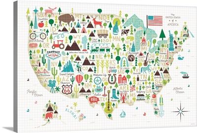
Illustrated USA
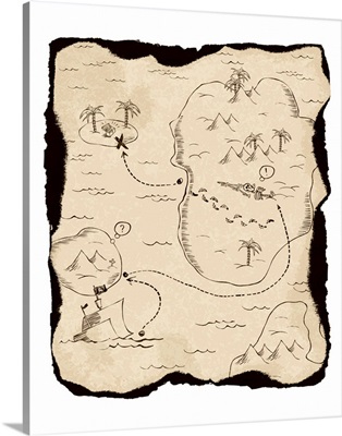
Old treasure map with burned edges
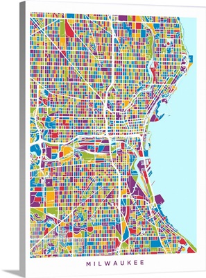
Milwaukee Wisconsin City Map
Linen Map I
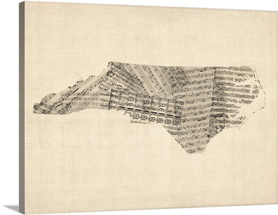
Old Sheet Music Map of North Carolina
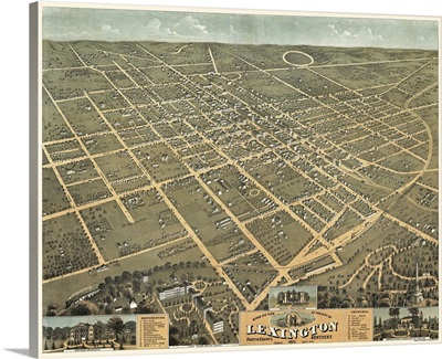
Vintage Birds Eye View Map of Lexington, Kentucky
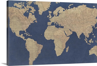
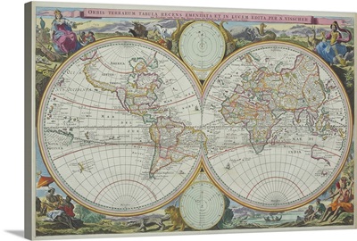
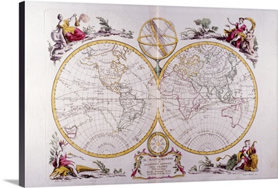
Map of the world
Map of the World
United States Watercolor Map
Vintage Birds Eye View Map of Chicago, Illinois
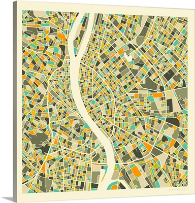
Budapest Aerial Street Map
Chicago Map
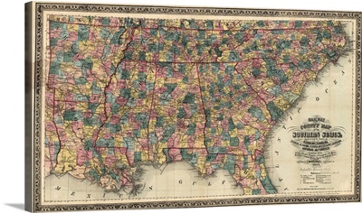
Map, Railroad, 1864
Page 1
Page 2
Page 3
Page 4
Page 5
Page 6
Page 7
Page 8
Page 9
Page 10
Page 11
Page 12
Page 13
Page 14
Page 15
Page 16
Page 18
Page 19
Page 20
Page 21
Page 22
Page 23
Page 24
Page 25
Page 26
Page 27
Page 28
Page 29
Page 30
Page 31
Page 32
Page 33
Page 34
Page 35
Page 36
Page 37
Page 38
Page 39
Page 40
Page 41
Page 42
Page 43
Page 44
Page 45
Page 46
Page 47
Page 48
Page 49
Page 50
Page 51
Page 52
Page 53
Page 54
Page 55
Page 56
Page 57
Page 58
Page 59
Page 60
Page 61
Page 62
Page 63
Page 64
Page 65
Page 66
Page 67
Page 68